BONUS PIC.
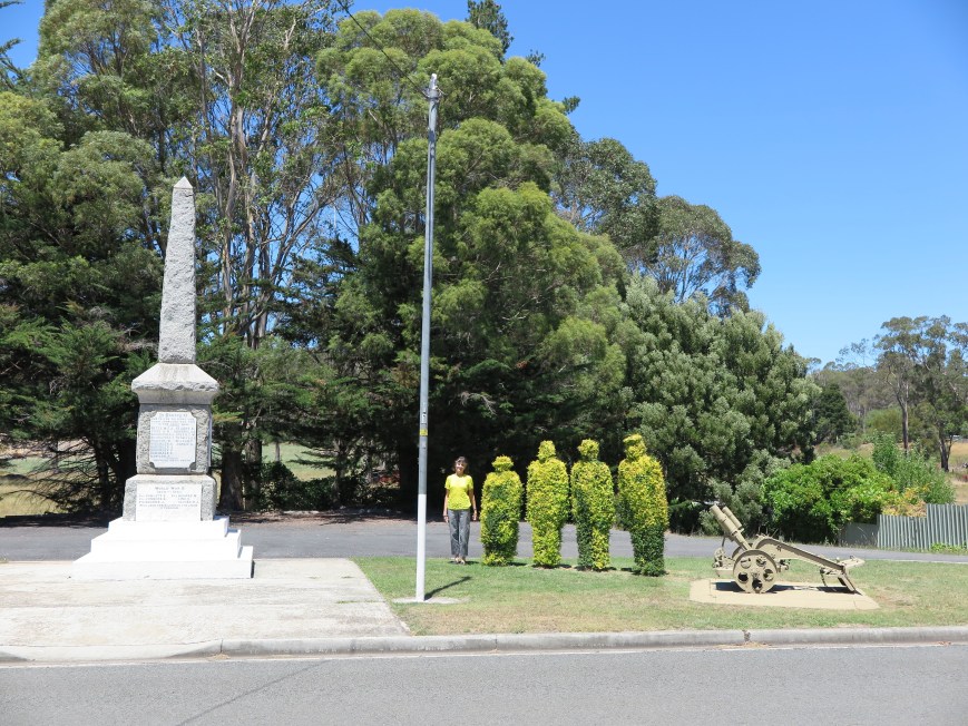
Greetings from Railton, Tasmania. Topiary Capital of the Southern Hemisphere.
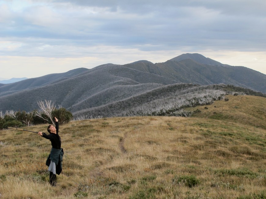
And no it wasn’t planned. That was just what she happened to be wearing that day. (Donald Trump on the right do you think?)
But let’s continue on with our journey through prime mountains. Begin by mounting Sheffield’s finest viewing platform.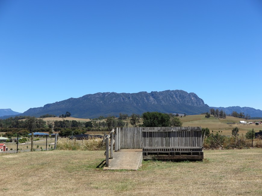
MT ROLAND (15/1/18)
Altitude: 1233m
 As far as I can tell this range is called the Mt Roland Regional Conservation Reserve. But Mt Roland is the highest peak with Mt Van Dyke the second highest.
Coming from the east, as visitors do, it’s the beginning of the Western Tiers. I drove past it years ago and it took my breath away. The dolerite crags just seem to soar impenetrably.
Route: There is a track up the face which has been closed because of its danger. There is also a ridge walk from one end to the other which would probably take several days.
The standard track is 4 km along a firetrack which actually climbs quite a bit, a very steep but relatively short climb up a creek gully (400m up in just over kilometre), 3 km across a button grass plateau and a nice little bit of bouldering at the end. Height gain of 600m. and about 16 km there and back.
On a good day like we had it is quite an easy walk — medium more correctly, it does have the climb up the creek gully. But we’ve tried five times and failed twice, mostly because of weather — it’s Tassie after all — although one time a late start didn’t help.
Just to be clear, this is where you are headed. The looming presence is intermittent, but tangible and enough to leave you dangling. How on earth are you ever going to get up there? Mt Roland is not isolated. It’s only 15 km from Sheffield (with great murals, Mural Capital of the etc.), and the plains surrounding it are littered with holiday houses and farms wanting to make the most of the formidable view.

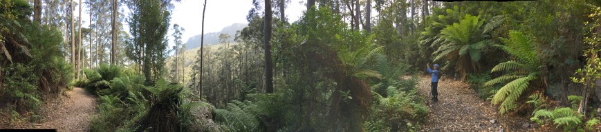
You start from O’Neill’s Rd. This road quickly shifts into a rough four-wheel drive track gaining height quite steadily as it sidles up across the foothills of the cliffs. It runs through a glorious wet, eucalyptus forest with massive stands of tree ferns.
After half an hour there are stands of curly-branched John Glover gums the name of which I don’t know. I used to look at his paintings and think he had a visual infirmity when it came to trees. But then I started looking and found them all over the island.
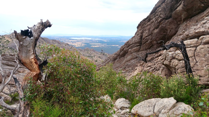
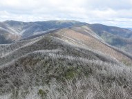
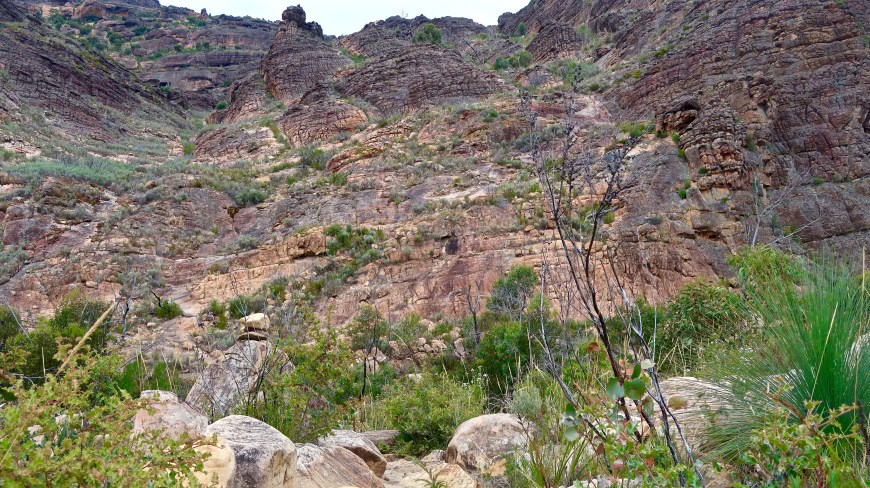
This section is completed when you come to a log bridge spanning a gully with steps formed on the other side. Lots of steps. You’re going up a crack that is not the one in the picture below (another section of the Mt Roland range) but which is very like that one.
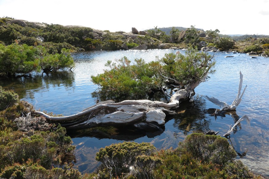
In or after wet weather, of which there is plenty here, the track is both muddy and slippery and in places a water course. We’ve moved into nothofagus country which means lots of mosses, lichens and exotic tortured shapes, Lord of the Rings country.

It was neither wet nor muddy on this lovely day and we duly popped out at the rest point at Reggie’s Falls with certain of us raring to go after cup of tea.
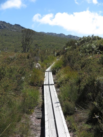
You walk almost straight out onto the plateau with its wonderful views, button grass and expanses of flowering alpine heaths, bushes and orchids. There is a kilometre or so of duckboard to get you across what can be wetlands.
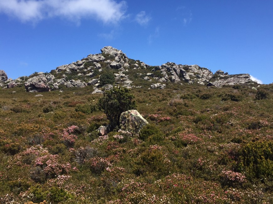 Fake Mt Roland (above) is to your left. It looks a lot like you’re walking over to the high point but actually that’s only a precursor. There is still another 40 or so minutes to get to the peak with dead but still lovely scorparia flowers on the way.
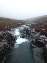
 I don’t want to go on about this but that rocky track is a water course in the wet. It can look like the ‘track’ at the left which is actually near Tongariro in New Zealand. But not today. No impediments today. Simply a perfect day for walking.
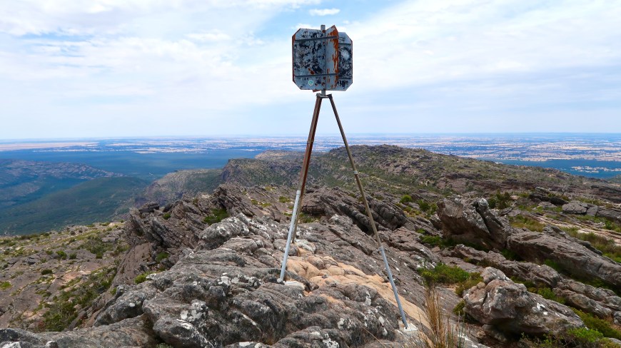
You go up this gully visible between the two rock outcrops in the photo above, climb left, and you’re there. And on a day like this, ‘there’ is quite something.

MT FIELD WEST (22/1/18)

Altitude: 1434m
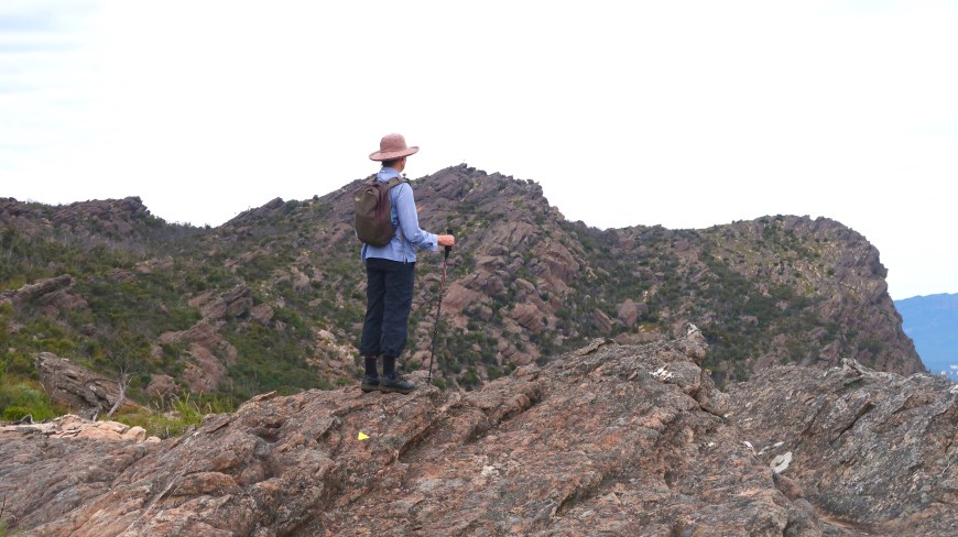
 Look at that for a mountain! The peak is the lump to the right. The Naturalist, another peak only 5m lower is to the left of that on top of a crowd of ‘organ pipes’, columns of dolerite, a very hard igneous rock which when weathered collapses into boulders. Dolerite columns and boulder fields are found almost everywhere in Tasmania.
Climbing Mt Field is not the issue. Getting there is.
If you look at the photo again you will notice Myrna crossing one of the endless boulder fields that make Mt Field such a challenge. (There is a Mt Field East too, a congenial domestic climb for a Sunday afternoon. But for the sake of simplicity today the destination will be called Mt Field. Both of them are only an hour and a half from Hobart.)
Route: There is only one ‘direct’ route to Mt Field. But I may never get to the peak again so we thought for the sake of completeness we’d include a major deviation.
Urquhart’s Track up from the Lake Dobson car park, Snowgum Track across to Rodway Hut. That’s all normal. But then out across Tarn Shelf, up over Newdegate Pass and back to K Col intersection. From there resume the normal route out up the spur and across the pincushion plateau. Back the most direct way through Lion’s Den.
The Lake Dobson carpark is at 1000m. But you have to climb over the Rodway Range before you can start the ascent of Mt Field again, so up to 1300m over boulders, down 200m, up 450m. About 25 difficult km. A big day.
 We began very early for us. We were walking around Lake Dobson at 7.00 and got up the gravel road to the ski huts quite smartly. Someone, possibly the skiers, has built a kilometre or so of duckboard across a shelf going in the right direction which is always most welcome. We were at Rodway Hut (below on the left) before 8.00. With magnificent views of Lake Seal a few hundred metres below and Tarn Shelf crisp in a very clear morning, that could have been satisfying enough.
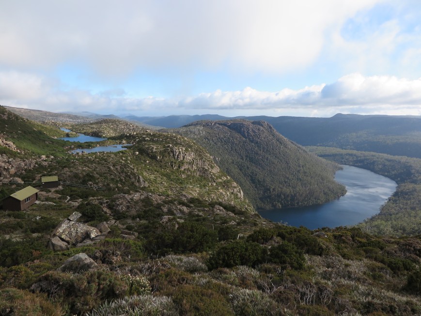 Tarn Shelf is a destination in itself.
Eight tarns (alpine lakes, often glacial) big enough to go on a medium-scale map, a dozen or so smaller, so as you walk through them you have all these water effects and reflected light as well as the remarkable alpine vegetation — including pencil pines and some pandanus — squeezing itself in between the rocks.
Further along there are stands of dead pencil pines dramatically weathered.
We got to Newdegate Hut at the end of the Shelf by 9.30 and set off over the Pass after cup of tea.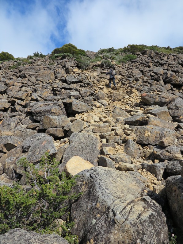
The views from the top of the Pass were consistently grand this day. Unusually, long perspectives were possible.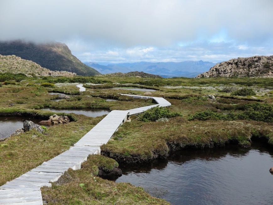 Duckboarding takes you across the very top of the Pass through the pincushion and water pools. Mt Field is sitting over in the distance with its top in cloud which remained there for most of the day.
 We got this clear view of the bird’s head of Mt Field and The Naturalist as we skirted back along the Rodways.
 And this is what you’re looking for. It never seems to come. Newdegate Pass is visible just to the right of the outcrop, The Watcher. Not apparently far, but it’s a mushy, rocky track with two or three boulder fields and plenty to trip on.
Turn right (left in the photo) with gratitude. Time for lunch. Except we did another hour.
Round the base of the horseshoe on to the ridge …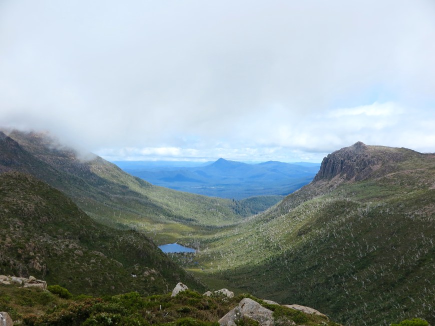
Past the much photographed Cleme’s Tarn …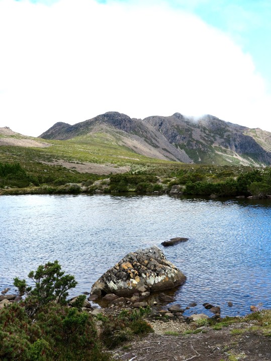
Up through the bushes …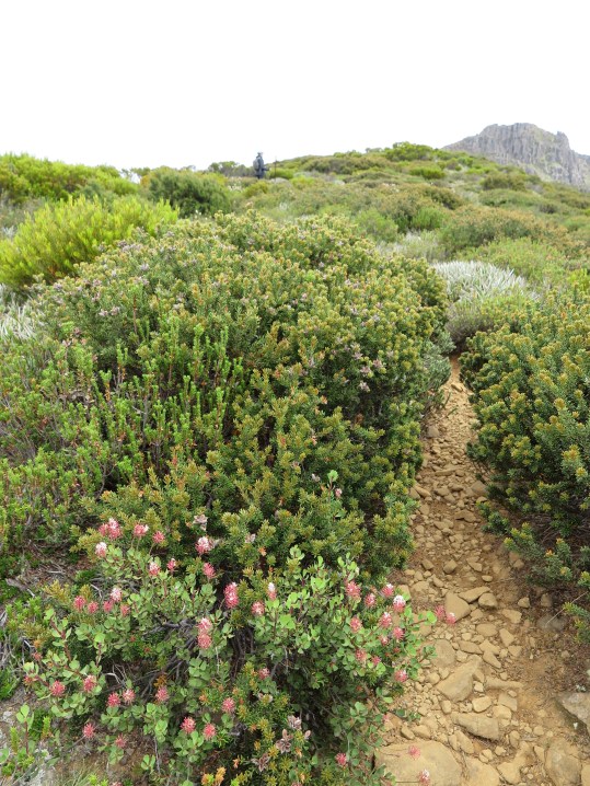
And the rocks…
Through the mist on the plateau …
 That’s from the top — a currawong welcoming us.
We turned around and had been walking for ten minutes when it all cleared.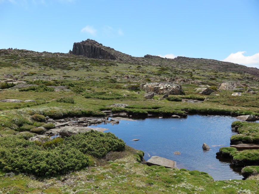 That’s the peak of Mt Field West.
And this is The Naturalist which we thought we would also climb.
In the far centre distance of that photo above you can see a boulder field which stands between us and getting home (about half way actually). This one.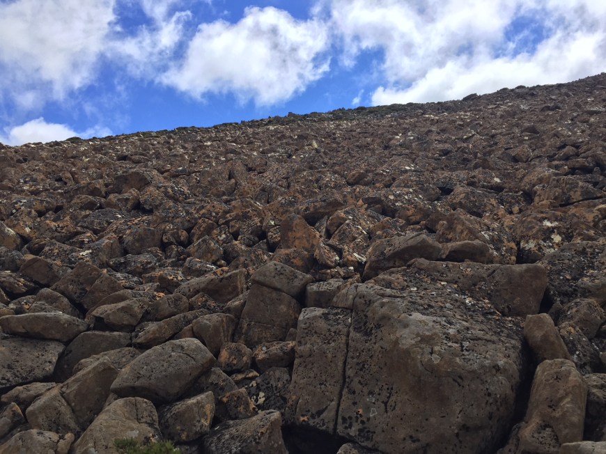
We got to the top of that, there was an elegant little alpine garden, and then an hour or more getting through the Lion’s Den, a valley of boulders which asks for huge steps, jumping and hand climbing — quite a lot for that time of the day. There are no photos because no one seems to take photos of the Lion’s Den. They’re too busy just trying to get through it. Not for the faint of heart. I think I had just gone into a slightly dismayed version of automatic.
We got back to the car at 7.30 scarcely able to move. It had been overly ambitious. I admit it. Freely.
A week has passed. This time next week I’ll be lying in hospital with a canula or two plugged in my arm dazed and confused with a big bandage on my left knee. And? Je ne regrette rien. These are photos of a precious adventure.


 Somewhere on that cliff face is the track. And like these things often do, it goes on and on. Four or five distinct false dawns.
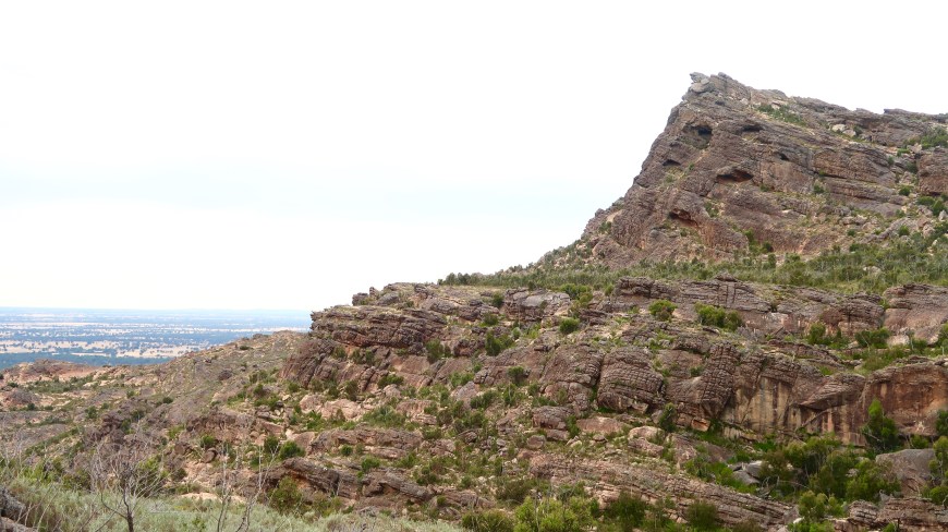 Another climb follows, steep and high steps up into the bottom of a vertical scarp which the track chases, climbing past caves sometimes gradually sometimes steeply to a crack in the cliff. From here you get the first view east.