Four years ago I wrote a blog called ‘The Mouth of the Murray’ which took up issues related to the depradations of the Murray-Darling river system after years of drought and decades of misuse.
The blog was quite widely read, opened anyway, which pleased me because I felt great concern about what was (and still is) a massive environmental problem. From Goondiwindi and Warrego to the mouth, 3000 kms, there were issues getting worse. But rivers die from the mouth up and so it was the Coorong that was the most vivid canary in the mine.
The Coorong is a coastal dune lake, a body of water bounded by a coastal dune and fed from time to time by ocean water — not unheard of but not so terribly common either, and the Coorong is a very large one. From the mouth to the end of the southern lagoon is about 110 kms and while its width varies it can be up to 4 kms. It is also a very precious one recognised under the Ramsar Convention as a wetland of international importance.

In the screen shot above you can see Wellington where the Murray enters Lake Alexandrina. You can also just see its mouth near Mundoo Island. Goolwa is to its left and then to the right you can see the long green strip of the Coorong (an attempt at the Ngarrindjeri word kurangk meaning ‘neck’).
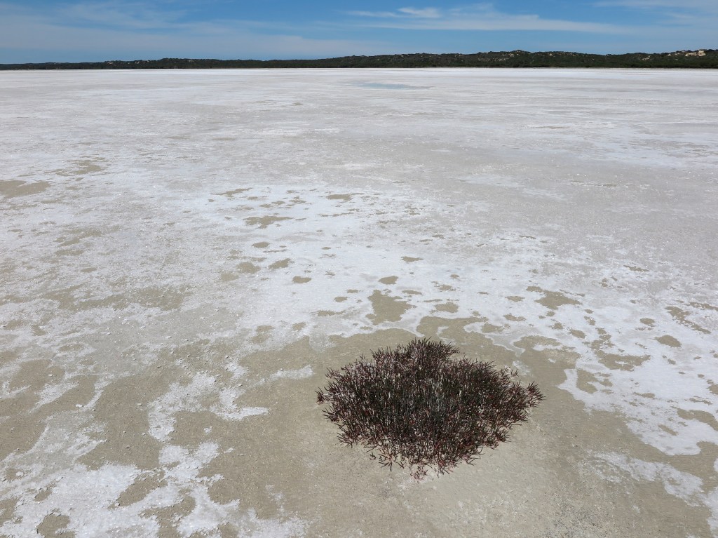
This is what it looked like when we were there four years ago, a dry salt pan with a tiny amount of vestigial plant growth.

And this is disastrous because the area’s ecology will be transformed by events of this scale, potentially almost nothing alive, potentially permanently.
But there has been rain. Lots of it, and while the floods have been described in terms of human catastrophe it is an ill flood that blows no ecosystem good.
The water from the Namoi, the Lachlan, the Macquarie, the Castlereagh and the Condamine, the Barwon, the Gwydir and the Paroo, has been working its way down the system, reconnecting and reinvigorating the Darling, filling the Menindee Lakes and in the Murray’s case swamping the Barmah Forest along with the outskirts and suburbs of the towns along its banks.
You think, well I do anyway, that all this water will take just a day or two, or a week maybe, to travel the length of the system, but it doesn’t. When we were in South Australia at Christmas the major flood level of the Murray at Renmark was going to take four or more days — it seemed uncertain — to arrive at Mannum about 400 kms away. The water is travelling downstream of course but it’s also spreading spreading spreading finding places that have been flooded before but this time seeking out new adventures.
At Murray Bridge when we crossed it in early January it looked like this, three or four kilometres wide.

On the other side of the bridge it had divided and turned into two monster streams.

The ferries had been closed at Tailem Bend and Wellington. But at Tailem Bend, about 30 kms downstream, it had resumed discipline, swollen and busy, but not yet spilling its bulging rolls over the flood plain.

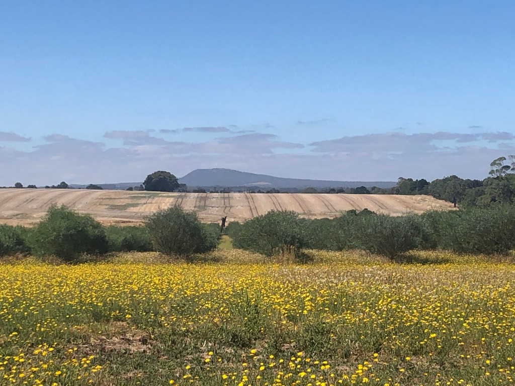
It had been raining here too. Langhorne Creek had had its regular floods in October and most unusually, even the salt pans on the landward side of the road had plentiful water in them.

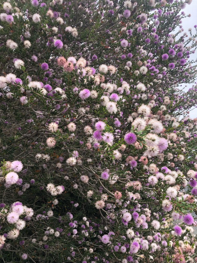
Melaleuca nesophila, Honey Myrtle, a Western Australian native, was growing like crazy throughout this part of South Australia. It seemed perfectly suited.

You can see it at left below out the front of this shack and its bin. It is I think the second last house before the Coorong National Park begins, and from its front door …

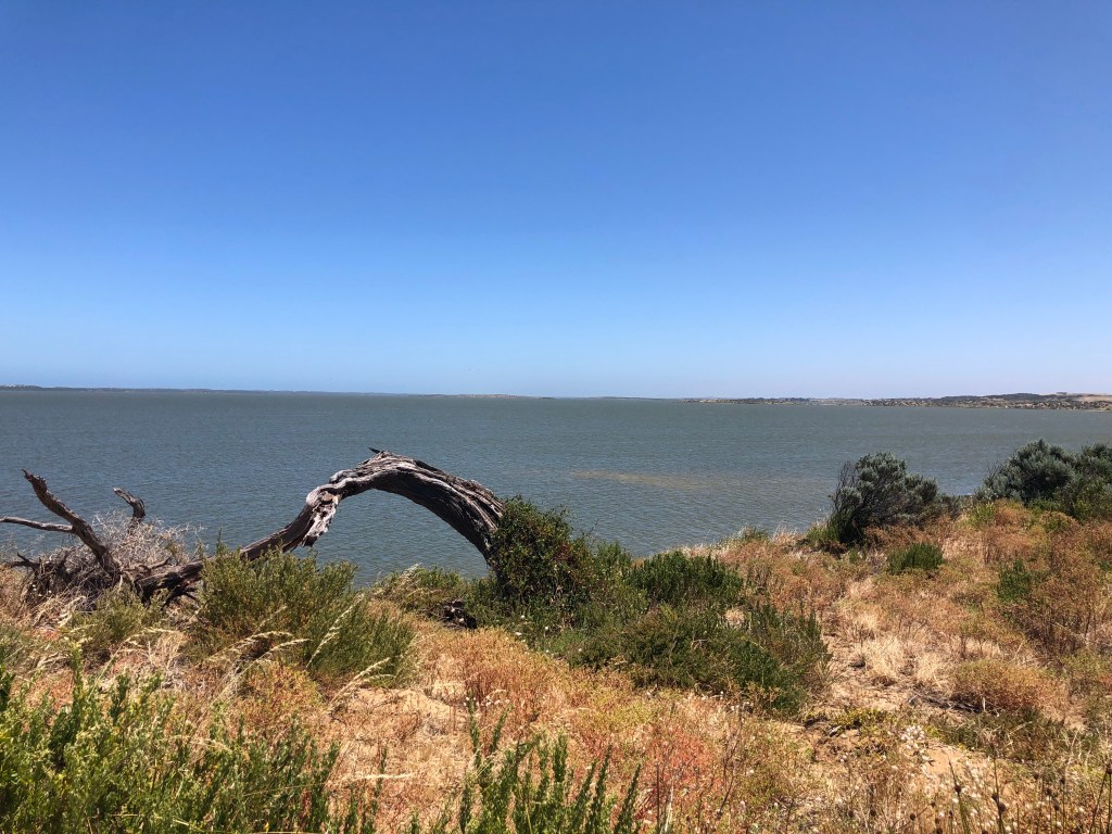
… da dah. You can see this. The Mouth: 200m of open water, not a dredge in sight. (They were in fact parked several kilometres back towards Goolwa, but not in use, possibly saving some of the $6m a year that their use otherwise costs.) It was a fabulous sight.

From here to get anywhere else you need to retrace your steps off Hindmarsh Island, so back to Goolwa. We had seen people — and a dog, not quite the thing in a national park — on the point overlooking the mouth and had some lukewarm ambition to do the same. But we found the road closed at the Goolwa Barrage a long way from where we wanted to get. Although you can’t see it in the picture of the Barrage below, for the first time in ages the five Murray barrages (see here) were open in a major way. Since 5 January 576 gates have been open; the usual figure is more like 40.
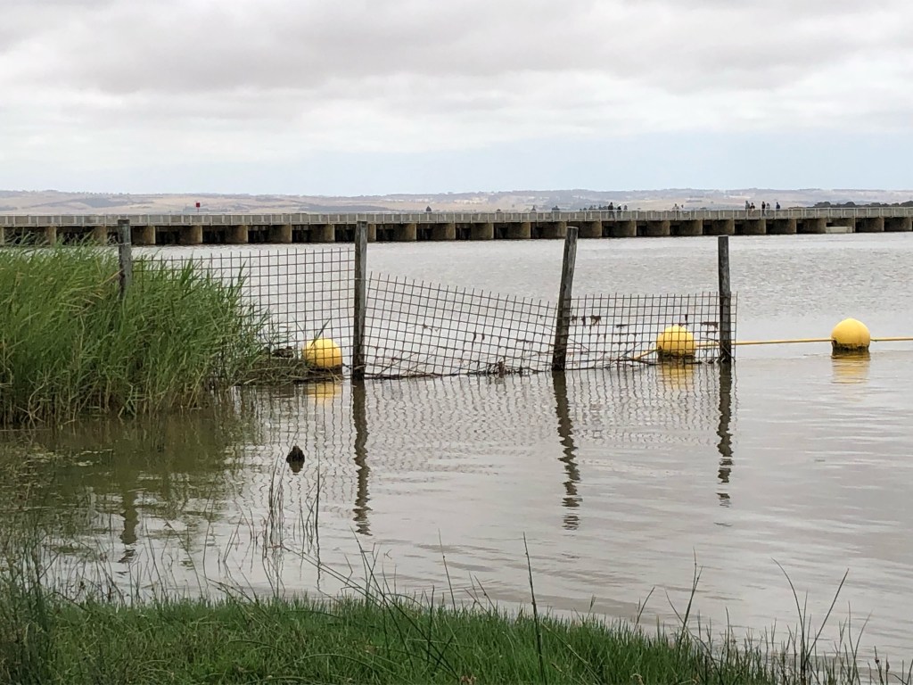
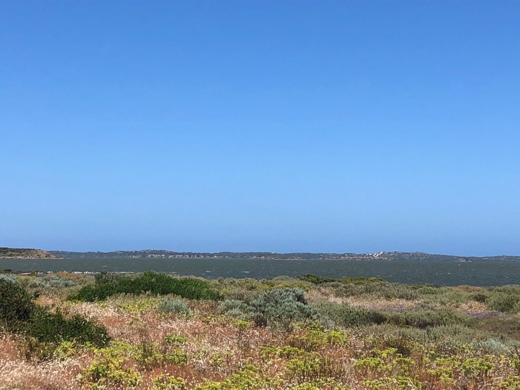
A few days later we crossed the river again at Murray Bridge and began the trip down the side of Lake Alexandrina to rediscover the Coorong. This is what we found: a glorious expanse of water.
We need some video here because Jack’s Point, everywhere we walked really, was awash with bird song. Saw some flying, but they were otherwise hidden in the bushes, with a dozen different calls trilling away.

Finally. Proof. The Coorong has its own numinous quality partly because of Colin Thiele’s book Storm Boy in which pelicans and their chicks play a central role. And here they were. A squadron of 15 or 20 pelicans in front of us, with many more flying about. These ones were feeding avidly with gulls ever so correctly pinching the remnants from the swarm of fish!

Remember this photo?
Currently there are fish in the Coorong. And if there are fish in the Coorong, there is so much else.
And you might note in the somewhat indistinct photo above with the pelicans, there are white caps. Quite a stiff breeze was blowing on shore from the south-west.
Despite the mighty expanses suggested here, the Coorong might be a couple of metres deep at its deepest. The idea of white caps on its surface is strange and elusive. But here it was, pretending to be a real sea. Was being a real sea. White caps. On the Coorong. Frankly, hoorah.