We arrived on Monday. Tuesday was one of the wettest and coldest days ever recorded in Adelaide: a top of 8C with 85mm of rain not to mention wind gusts of over 100kmh. We sheltered in the gallery finding, as anticipated, ‘Dangerously Modern: Australian Women Artists in Europe 1890–1940’. Fifty of them. A movement. Ma préférée:
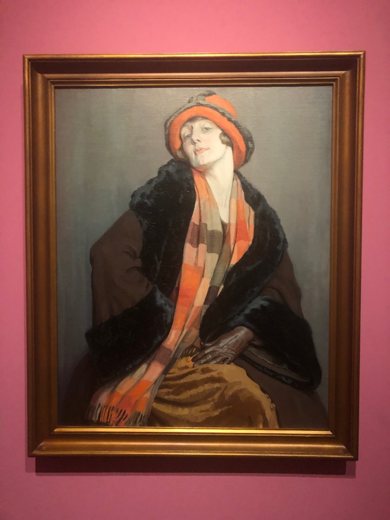

Hilda Rix Nicholas, born Ballarat Victoria, L’Australienne (1926), probably painted while she was in Brittany. She went to school at Merton Hall and earned money from time to time by providing illustrations for that seminal periodical The School Paper. George Nicholas, an Australian soldier, saw other work which she had had to leave behind in Étaples at the outbreak of the First World War. He decided he wanted to get in touch and found her in London in September 1916. They married on the 7th October and had a honeymoon lasting three days before he returned to the Western Front. He died there on the 15th November. Her father played football for Carlton.
However fascinating, a digression. We are on weather, its confounding variety and its consequences.
We had left a state without an autumn break for the third dry year, desert-like conditions in some of its regions and just the thinnest of grass elsewhere. We were going to look at floodwaters, so immense that they could travel up to 2,000 kms without being absorbed in their path by endless deep cracks and waterholes, salt pans, flat plains and relentless evaporation. How fast? Depending on the terrain somewhere between one and ten kilometres an hour. A flow? More of a slow ooze.
Just 80 million years too late, we were going to look at the remnants of an inland sea. Kati Thanda or Lake Eyre provides the lowest point on the continent at 15.5m below sea level, and among the flattest. Its high point, well over 100kms from the low point, is 15m below sea level, a height gain of 50 cms. And this is where the water from a catchment area considerably bigger than Germany, the Low Countries, France and Spain combined, one-fifth of Australia, flows. Except that it doesn’t. Most of the time. The Macumba, the Warburton, the Georgina, the Diamantina, Cooper Creek, the great waterways of the area, are most frequently dry or reduced to intermittent waterholes.
Every three years or so water reaches the lake, which is actually two lakes — South (the enormous one) and North (the far bigger one). That water rarely lasts beyond a month or two. This is desert country, the most arid part of Australia with each year at least six months of searing evaporative heat. The lake has filled three times in 175 years. The last was in 1974 … before I was 30.
There are lots of reasons why this is unsurprising. One is its dimensions: around 180 kms north-south and about 80 kms east-west, 9,700 square kilometres, the second largest salt lake in the world. In parts it can be 6m deep when full but the average depth is more usually 3-4m.
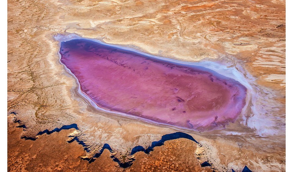
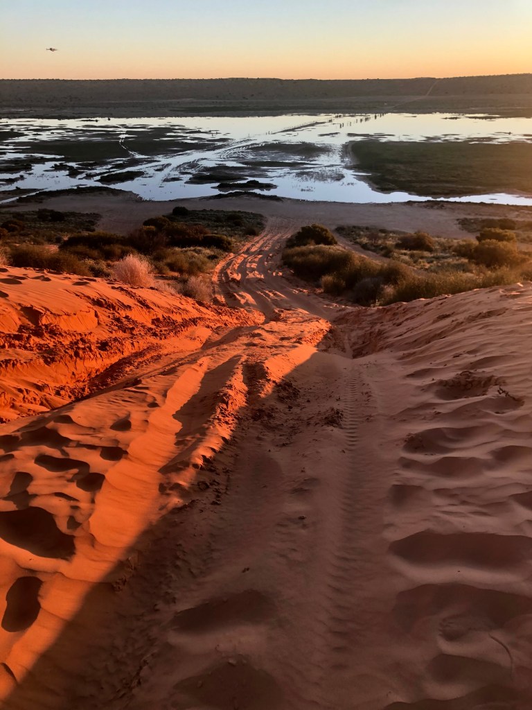
Flows restore what has been called an ‘invertebrate swamp’ to life. The water resurrects frogs, fish, prawn-like creatures, crabs and other amphibious species. These in turn provide feeding grounds for a wide variety of bird life: pelicans, gulls, stilts and stints, sandpipers, terns, even black swans. How do they know!! Just how do they know? And for that matter how do these these things stay alive in any form during the decades when the lake is dry, or for that matter when it becomes hypersaline during the process of evaporation. I am interested to discover that the pink bands visible in the shallows of the lake are the consequences of a particular salt-friendly algae. This can have dramatic results. (Not my photo, but you can see the bands in my photos which appear in the next blog.)
I knew that there had been massive floods in northern and western Queensland round Christmas time, and that it had hardly stopped raining since. That water had to go somewhere.

We heard a super-excited scientist talking about what was happening to the lake on ‘Late Night Live’. The next day an ad for an APT tour of Kati Thanda – Lake Eyre landed in my Spam. It was a sign. We needed to go.
But first we had to get there.
• • • • • • •


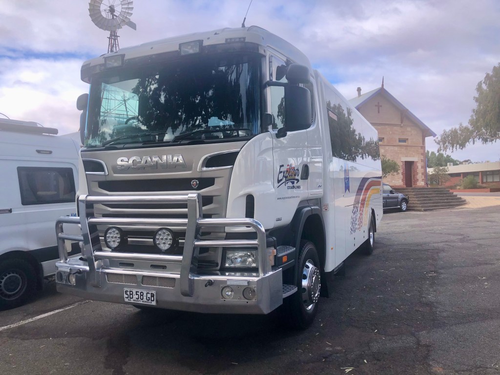
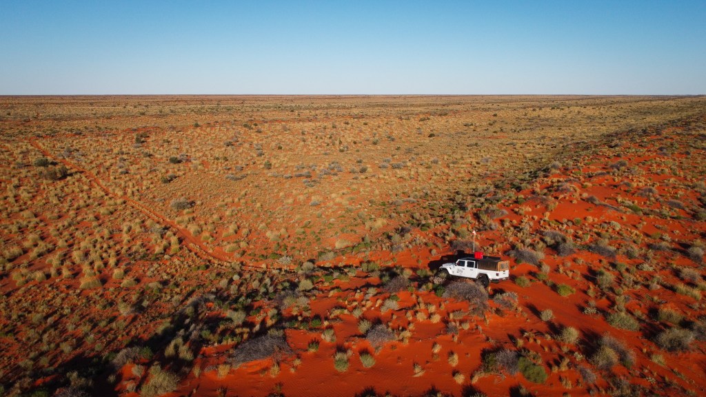
We’re on a 4WD bus/ truck, comfortable and warm, good on bitumen if a bit rocky on the dirt and corrugations. ‘We’, 19 members of a very defined demographic in terms of age, class and ethnicity, the heart and soul not to mention the cash registers of the travel industry. It was easy and well designed with plenty of comfort stops. Excellent guide. Etc.
• • • • • • •
The country immediately north of Adelaide is devoted to feeding its citizens. Fertile plains full of vegetables, fruit comes from elsewhere but eggs, chicken and pork are all produced here. It’s already flatland and under some pressure from the city’s northern stretch, Two Wells already almost a suburb.
But dry.


After passing the top of St Vincent Gulf one of the first towns you come to is Snowtown which has a Big Blade for you to look at, but which will be known forever as the town with the bodies (11, such a lot) in the barrels in the bank vault. If you must, you can be reminded about the story and its horrific intimations here. The town discussed changing its name (to ‘Rosetown’) but didn’t.
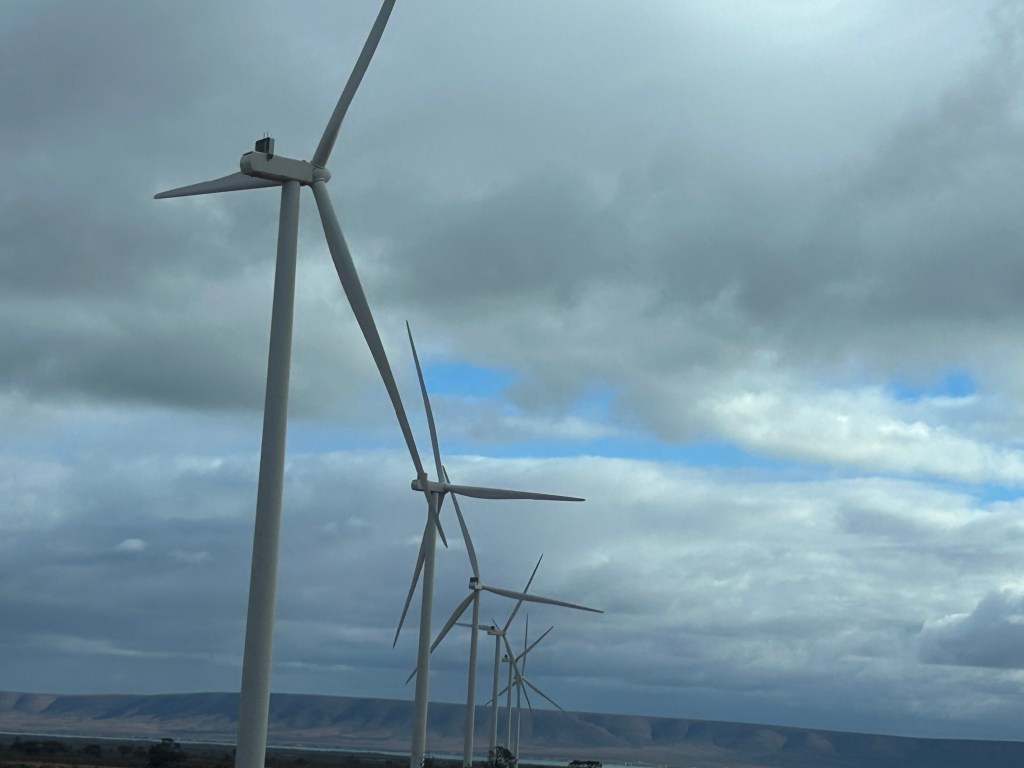
Wind turbines at work, big blades spinning hard, began appearing. These are six of the 1300 near Port Augusta which also has two of the largest solar farms in Australia and the first of South Australia’s seven Big Batteries (‘opened’ in the presence of Elon Musk).
Port Augusta is home to the now de-commissioned coal-fired power station which for decades provided almost all of South Australia’s electricity.
At present 77% of all SA’s power is generated renewably. It is intended that this be 100% by 2027. It can be done.

By Port Augusta we’re in the arid lands, just here in fact we’re in the town’s Arid Lands Botanic Gardens. And we’re at the end of the Spencer Gulf after which the water courses become so nondescript they don’t have a name until, after several hundred kilometres, you get to Lake Torrens, customarily a salt pan.

But this point has other significance. For millennia Barngala and Nukunu people would have stood here looking north-east at what the perambulations of two giant rainbow serpents had left behind. In 1802 it was Matthew Flinders. This blog is very much in favour of Matthew Flinders for reasons some of which are explained here. But one is that he didn’t consider naming those ranges after himself.
We left early next morning as we did every morning. It was a lovely morning.

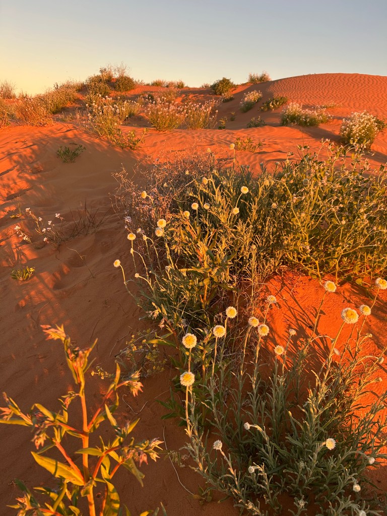
Almost immediately saltbush and bluebush country.

Through the Pichi Richi Gap, and then there’s Quorn.
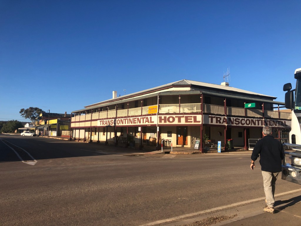
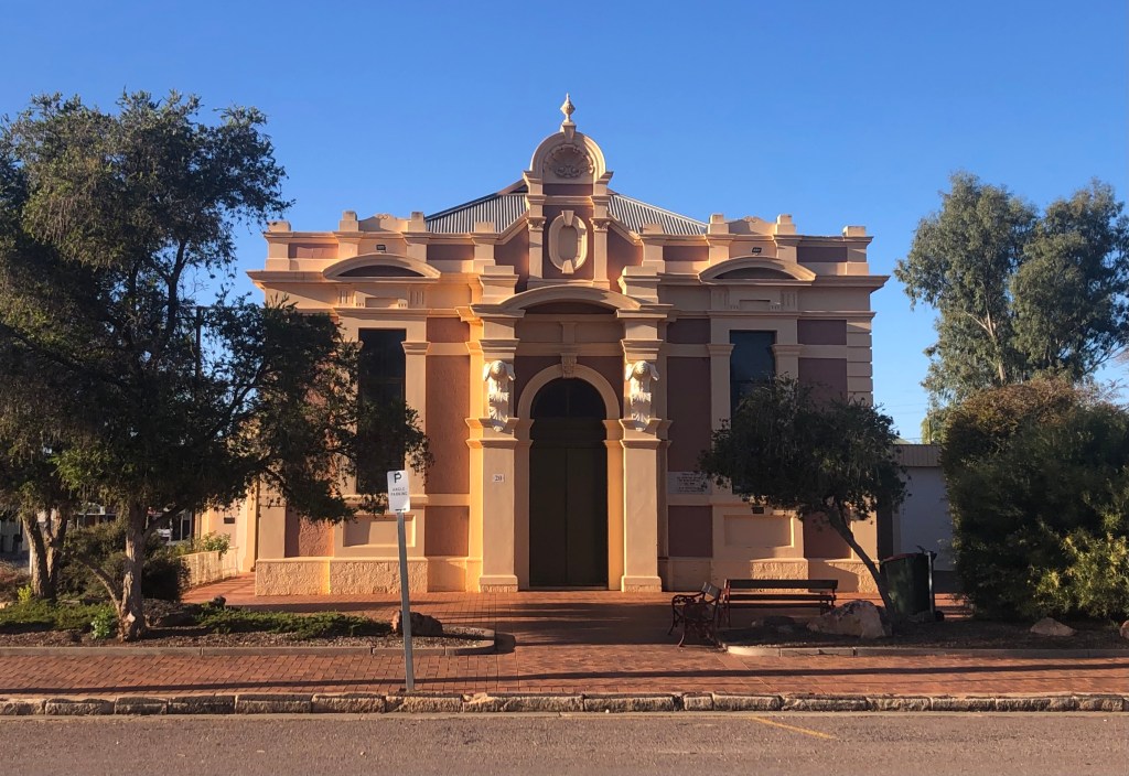
Once a railway hub that required spending a night in order to transfer from one train gauge to another — train transport has been so profoundly important to the white version of this area — Quorn has four hotels like this one and not much else. It makes its money from a steam train ride up and back through the Gap, entirely scenic. It also has a popular cafe devoted to dishes made from quandong, native peach, and just a little surprising. But it also has a collection of built memorabilia decked out in South Australia’s sandstone ochre and brick maroon. This is the Town Hall.
And then Kanyaka. (These blue skies are deceptive. It was at least three layers cold.)

Kanyaka Station was selected in 1852. Two years after, Hugh Proby the English aristocrat responsible, died aged 24 trying to cross the Willochra Creek in a flash flood. It’s a story I’ve expanded here, a story most emphatically about weather and its exigencies — an early ‘rain will follow the plough‘ story. That very creek, or its bed at least, is below right.
But it was good to see those muscular remnants again.


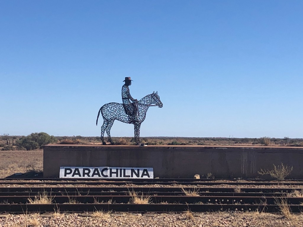
And then Parachilna, tethered population somewhere between 2 and 16. Activity: the Prairie Hotel, owned by the local cattle station owner, ‘understated iconic landmark and legendary destination’.
Most of us ate a delicious meal of home-made damper, smoked butter, emu pate, camel sausage, sliced kangaroo fillet, locally-cured ham and salad washed down with beer made in the hotel’s brewery. A completely unexpected touch of gourmet provender.

Now, more than 600 kms north of Adelaide, Farina, another of the several dozen towns on our route representative of so much ambition but dilapidated by the reciprocal impact of drought and the closure of a train line.

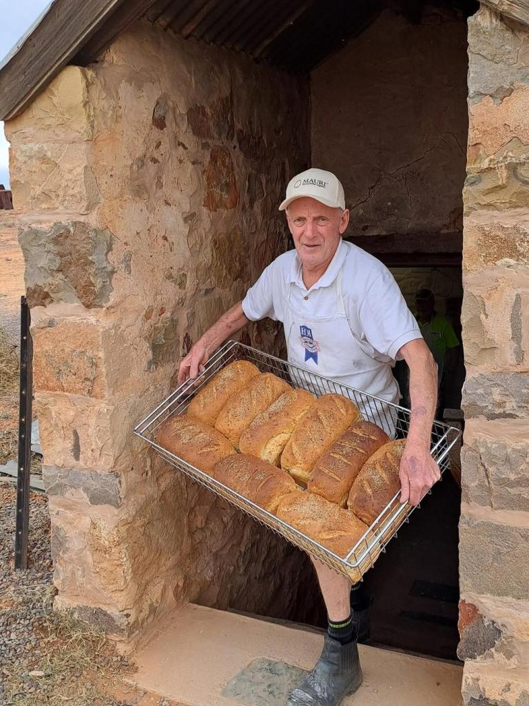
Farina is being restored at a gentle pace by voluntary labour.
Grey Nomads are apparently among those who choose to spend a fortnight here rebuilding the stone walls or manning the classy store or helping bake the bread and other goods which come out of the wood-fired underground bakery.
The plans on display provided for a town of 2-3,000. That never happened.

This general goods store was operating in 1987, the end of its 70-year history. Now 40 years later its site is scarcely discernible. Two or three piles of rubble mark its rough dimensions. It’s startling how decisive this process is.

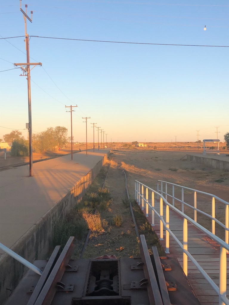
Marree Station … and its line. That line extends past the platform but not very far. The last train to Marree was in 1987. There were issues about varieties of gauge — the distance between the lines, a moment’s thought will clarify what such differences might mean. Problems. And there were questions about the best route north. Marree lost. Then there was the weather: long droughts. Isolation. Marree, 46 metres above sea level, the beginning of both the Birdsville and Oodnadatta Tracks, an important Outback destination. A sort of whitefellas dreamtime.

The pub. There might have been 200 people enjoying it the night we were there. Perfectly acceptable food and a comfortable cabin. Backpackers provide the staff for these enterprises. Last Christmas this hotel employed 45 of them.
Marree is also home to the Lake Eyre Yacht Club, a real thing, with strong and lively views about who can use the lake and how. With the filling of the lake, these will no doubt surface again soon and vigorously.

Over the road are remnants (a wooden frame and thatched roof) of the first mosque built in Australia, a reminder of the place of Afghani cameleers in this cultural landscape.
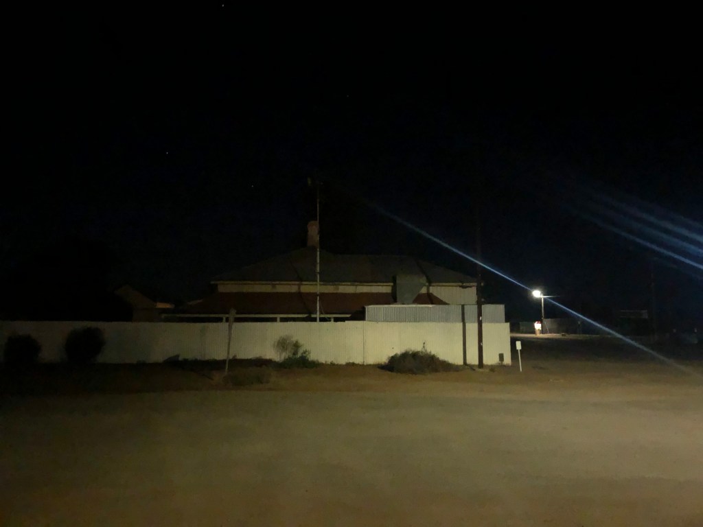
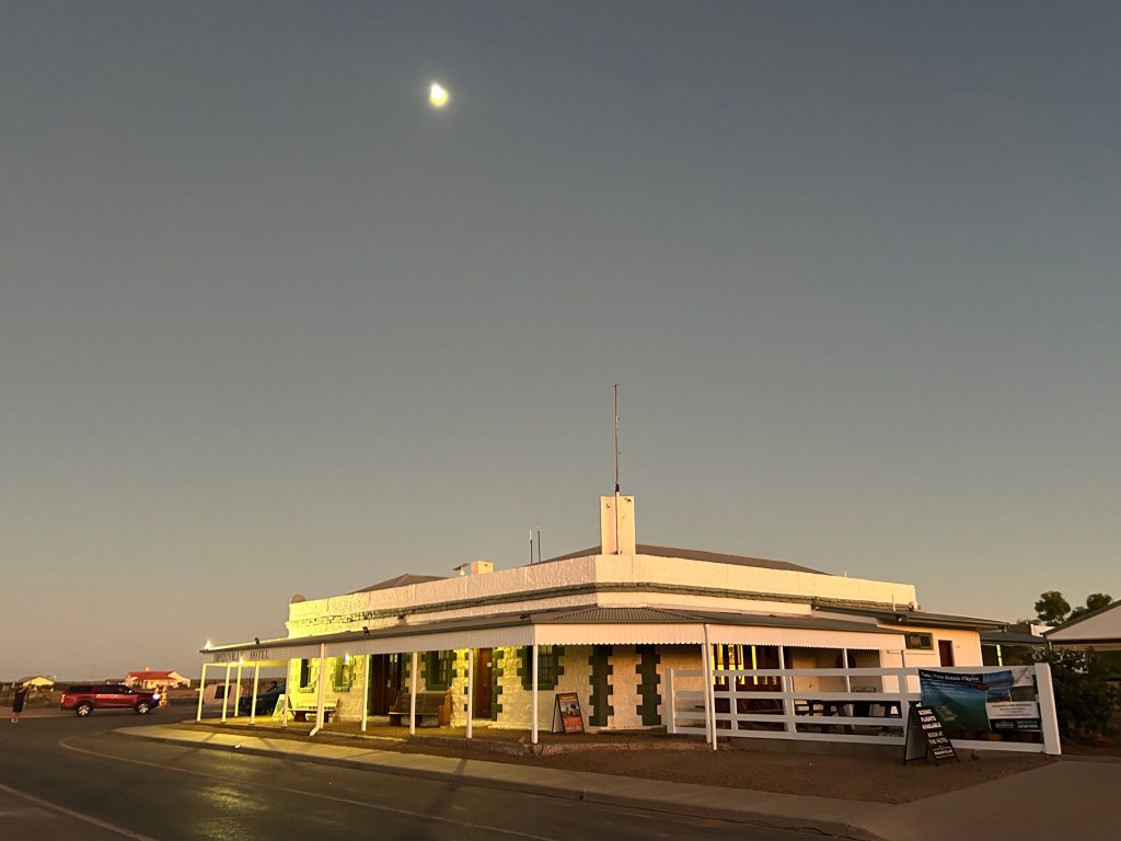
The pic below is here just because I like it. Marree’s main street at night with two people meeting under the light.

On to the dirt of the Oodnadatta Track, 200 kilometres of corrugations to William Creek.
And this chap, a doctor being ‘[Where’s] Wally’, who was riding a postie’s bike some vast distance soliciting financial support for traumatised soldiers of whom his brother was one.
Also on the way was one of Australia’s 5000 mound springs naturally venting the water of the Great Artesian Basin.
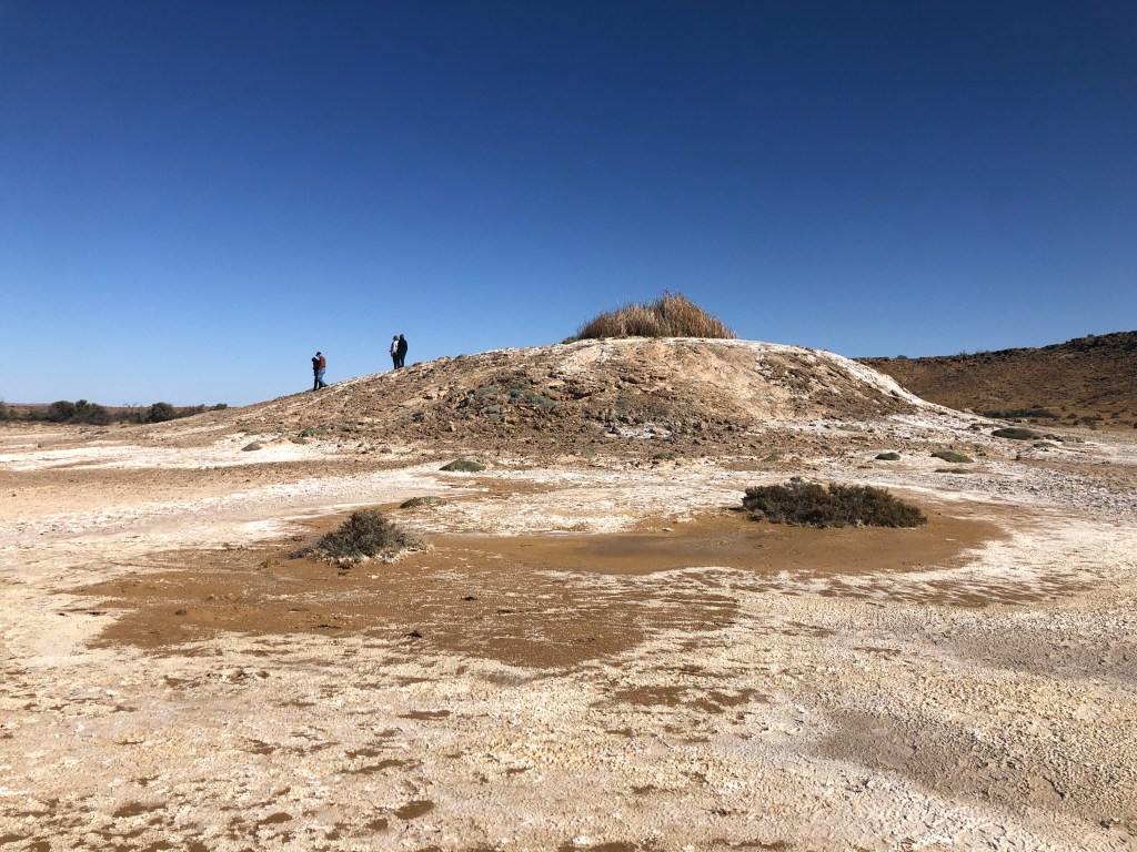
Mineralised water was oozing out of the side of this mound at various points and pooled at the top where the native grass is growing, a reminder that water flows underground as well as above ground, and that this too is affected by the weather.

One-fifth of Australia is also the catchment area for the Great Artesian Basin, the natural phenomenon which provides the lifeline for the living creatures, human and otherwise, who have made and now make their home here. Even underground its water tends to flow towards the lake area. Science suggests that some of the water coming out of the bores and springs in its southern regions might be two million years old. I have mentioned in the other blog how it comes out of the ground at Birdsville at 98C.
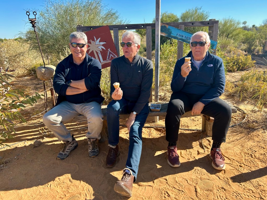
Coward Springs, another oddity in the middle of absolutely nowhere, also survives on its spring. A modest date farm and tourist stop selling date ice cream and date milkshakes as well as dates. Why Coward Springs? Well, it was named after Thomas Coward who was a member of Warburton’s expedition north searching for the inland sea. How tedious! You could hope for something a bit zippier.
Our destination, William Creek, consists of not much more than a pub and a very busy airstrip. Trevor Wright has spent 30 years building a flourishing aviation business here — 29 planes I think I remember Kym saying — and we were to use his company’s services.


If you look closely at this pic you can see a black dot in the middle which is the plane carrying the other half of our group. Everyone had a window seat. You’d want that really wouldn’t you?
The accompanying blog illustrates what we saw on the flight but we got to Birdsville where David Littleproud had come to see us. He nodded warmly in my general direction. (Adam Bandt picked us up in the Flinders Ranges.)
And this is the excellent Birdsville pub actually very early in the morning as we were leaving. It sold 74,000 cans of beer at the last races, a matter of some concern as there were only 75,000 on hand. (What are you thinking? How did they get that many cans of beer there? And perhaps more particularly, what did they do with the empties? Yeah me too. I have lots of questions like that.) The person who told us that was a teacher from Mansefield in Victoria who decided that he and his ‘beautiful wife’ would live in widely varying parts of Australia as they got older. He’d been at Birdsville for 16 months including through the summer. Hmmm … so. He’d be valuable. And he was. Great. He took us to see Big Red.

‘Big Red’, at 50 metres the highest sand dune in Australia, and made so that you can drive your 4WD all over it.
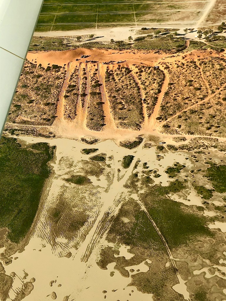
True dinks. That’s Big Red from our plane two days after 79 year-old John Williamson kicked off his farewell tour here. (His CD The Big Red released in 2012 includes the songs ‘Marree Girl’ and ‘Prairie Hotel Parachilna‘.) You can see the squares organising the audience at the top of the pic. John and his band were up on the dune on a ‘platform’ carved into its northern side. Apparently there were several instances of John offering a different song to that of his band. 79, that could happen, is almost likely to happen in fact. 1200 people there. Where do they come from!? And go to? The bottom (wet) tracks in the picture above are the entry from/ departure to the Simpson Desert but that’s not where they came from, not en masse anyway. It usually looks a bit more like this.
But on the night we were there to drink a little wine and have some nibbles watching the sun go down (Correct Official Grey Nomad Behaviour) it looked very good in parts.

You can have a look at some of the highlights of the flight back here, but one deviation stood out — a visit to the Marree Man carved by earth-moving equipment into the top of an isolated plateau south of Kati Thanda South some time between 27 May and 12 June 1998 (provably by photos from NASA’s Landsat-5 satellite).
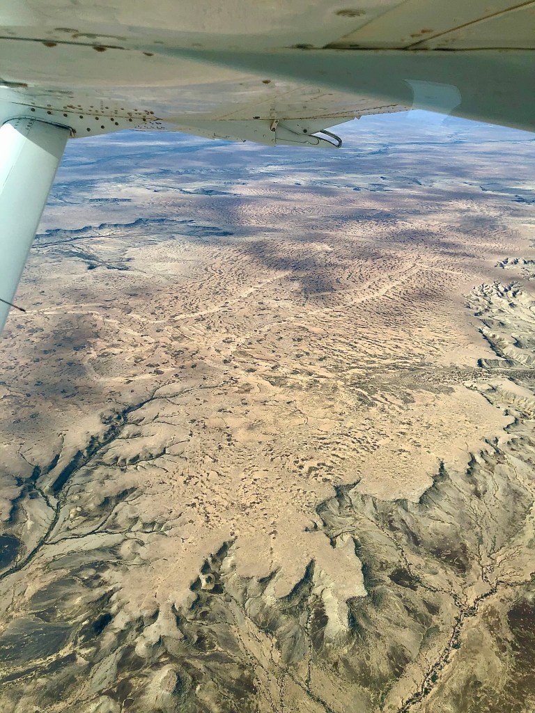


It is an Aboriginal man with a woomera, a throwing stick, in close to perfect dimensions just under three kilometres from head to toe. And no one knows who did it, except the person/s who did it — and they may have died. Ideas have circulated round bored locals, seemingly unlikely given the effort, equipment — and skills — required to create it. It sits near the edge of the Woomera Protected Area which has been home to American servicemen who would at the time have been experimenting with GPS technology, quite probably required to construct it. And then there was an Alice Springs-based artist, Bardius Goldberg, who has since died, who had told his friends he wanted to create a work that would be visible from space. He had the skills and access to the technology and received a mysterious sum of $10,000 around this time. Coulda been … dunno. But there it is. No one knows. Dick Smith spent $5,000 trying to find out and is none the wiser.
It is not without controversy. The local native owners believe its construction damaged an important cultural site. If you double click on either the left or right hand pic you can see some of the extraordinary features that might render it special. Politicians have called it environmental vandalism and graffiti. The area is currently closed to the public and, over time, probably quite considerable time in this environment and climate, it will be resumed into the landscape.
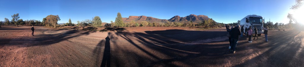
Okay we’ve been, and now we’re coming back. A quick visit to the Flinders Ranges (named by Governor George Gawler in answer to your question from some time ago) and we’re on our way home. Sorry to have detained you this long.
You’ll have forgotten by now, but when this blog began we were in Adelaide and it was pouring down.
I like to maintain a narrative curve in my work so here is Myrna outside our cabin at Wilpena Pound in the Flinders Ranges preparing for our walk round the St Mary Peak circuit and while it wasn’t raining at that minute, it did rain for the next three and half hours. But as I said to Kym, there is no such thing as bad weather, only bad preparation. (I know, ridiculous, but you’ve got to say something.)

This is a walk we have done before. Not an easy one: 20 kms with a big climb, and 4 or 5 kms to be spent stumbling over cricket ball-sized rocks. But it’s a good walk and we were looking forward to a day spent out of mechanical transport. The last time was seven years ago and in different conditions. Could old people still do this walk? Not altogether definitely.
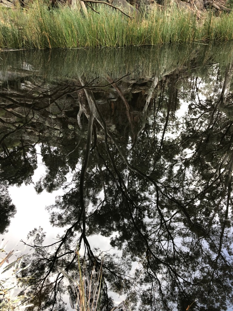
I took a number of pics in the same place. This was one.


As can often be the case, things take on their own patina and sheen, their own mysterious beauty in the wet. In enlarged versions of the first one you can see droplets of water hanging off the foliage and branches.


There was quite a bit of this …

before the final step.


I think ‘suitably impressive’ is the term you’re looking for.
From Tanderra Saddle there can be a wonderful view. Pretty good in either sort of weather really.


After we got down into the Pound the rain stopped and the cloud lifted to some degree. But this is the rocky road I was referring to. Hard work! And not much used.

Same callitris. Same red gums. Same rocky field. Seven years later.


The walk finishes near a pool in the Wilpena Creek of almost impenetrable stillness. Weather again.
And then we went home.